U.S. Population Map of 1800: A Glimpse into Early Expansion
In 1800, the United States was a nascent nation, its population spread unevenly across the expanding frontier. The population density map from that year reveals a stark contrast between the densely settled eastern seaboard and the vast, sparsely populated interior. This snapshot provides valuable insights into the patterns of early settlement and the challenges of governance and infrastructure during the nation's formative years.
Historical Context
The year 1800 sits at the heart of the early republic, just a decade after the nation’s independence and the ratification of the Constitution. The U.S. census of that year recorded a population of approximately 5.3 million people, a dramatic increase from the 1790 census, which counted just over 3.9 million. The rapid growth reflected both natural increase and immigration, primarily from Britain, Ireland, and the Caribbean. At this time, the federal government was still figuring out how to manage a rapidly expanding country, grappling with issues such as land distribution, transportation, and the balance of power between states.

Population Distribution in 1800
The antique population distribution map highlights the concentration of residents along the Atlantic coast, particularly in states like Massachusetts, New York, and Virginia. In contrast, the interior states of the Northwest Territory and the frontier regions such as Kentucky and Tennessee were beginning to attract settlers, but remained sparsely populated compared to the East. The map illustrates that over 60% of the population lived within the first 200 miles of the Atlantic coastline, underscoring the importance of maritime trade and the logistical challenges of moving people and goods westward.

Implications for Modern Demography
Understanding the 1800 population map sheds light on long-term demographic trends that continue to shape the United States. The concentration of population in the East laid the groundwork for the development of major economic centers, influencing transportation routes like the National Road and, later, the transcontinental railroad. Moreover, the early population patterns established regional identities that persist today, such as the cultural distinctiveness of New England versus the South.
Modern policymakers and planners can draw lessons from this historical snapshot. For instance, recognizing the enduring legacy of early settlement patterns can guide infrastructure investment, especially in addressing the needs of rapidly growing suburban and exurban areas. Additionally, the map underscores the importance of equitable resource distribution, a concern that remains central to contemporary discussions on regional development and economic opportunity.
1800 US Census: Population, States, Cities, Territories | America In

1800 US Census: Population, States, Cities, Territories | America in ...
Us Population Density Map 1840 - Secondkoti
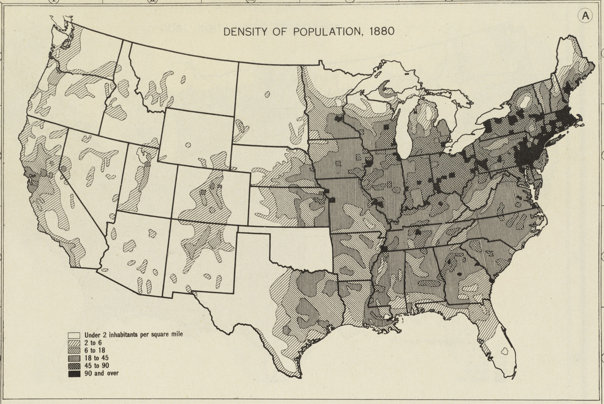
Us population density map 1840 - secondkoti
Population Of The United States – 1790 To 1800

Population of the United States – 1790 to 1800
3,670 Us Population Map Stock Photos, High-Res Pictures, And Images

3,670 Us Population Map Stock Photos, High-Res Pictures, and Images ...
United States Population Census Map, 19th Century Cartography Decor

United States Population Census Map, 19th Century Cartography Decor ...
Us Population Map By County 50% Of Americans Live In The Country's
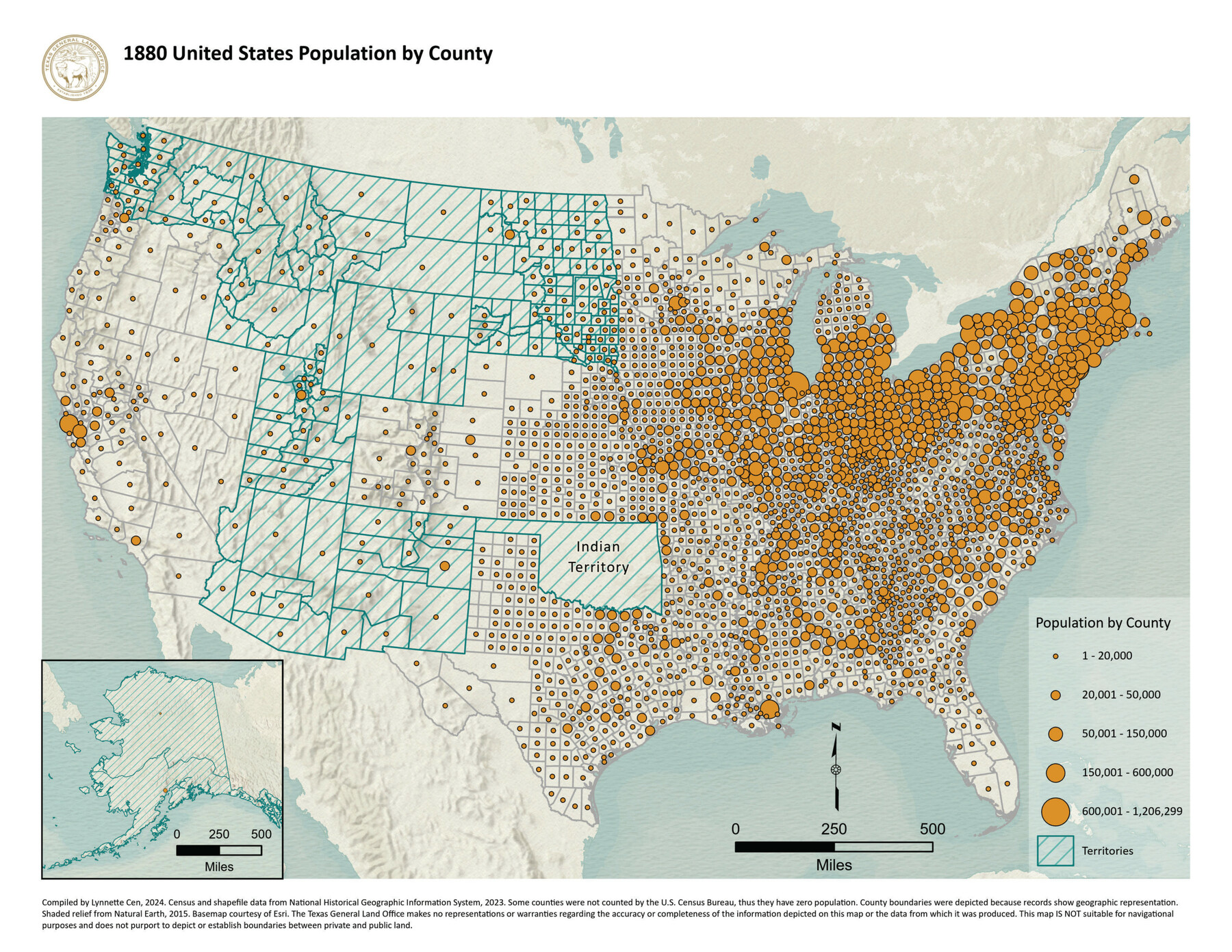
Us Population Map By County 50% Of Americans Live In The Country's
USA: Population: Density; Urban; Growth; Immigrants; 1890-1900, 1900
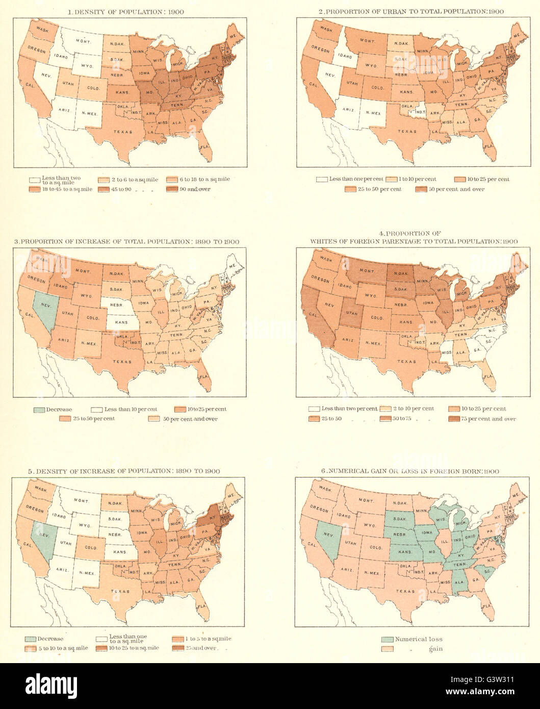
USA: Population: Density; urban; growth; immigrants; 1890-1900, 1900 ...
Usa Population Map Chart: The U.S. States Losing & Gaining Population

Usa Population Map Chart: The U.S. States Losing & Gaining Population
United States Population Density Map

United States Population Density Map
Population Of The United States 1830-1840 - Walker 1870 9th Census

Population of the United States 1830-1840 - Walker 1870 9th Census ...
1800 Census Of The United States - Federal Population Schedules Facts
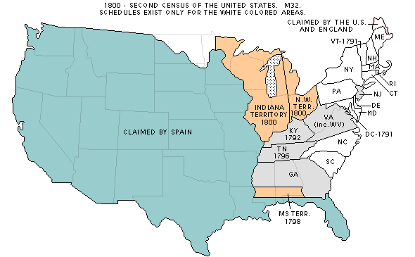
1800 Census of the United States - Federal Population Schedules Facts
Us Population Map Photos And Premium High Res Pictures - Getty Images

Us Population Map Photos and Premium High Res Pictures - Getty Images
1840 Us Government Map Of Us Population Distribution
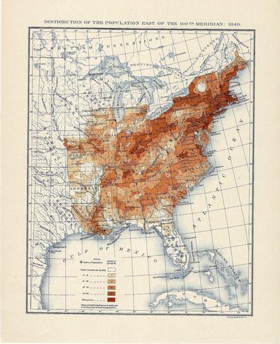
1840 Us Government Map Of Us Population Distribution
US Population Density In 1890.

US population density in 1890.
An Animated Map Visualizing The Enormous Population Growth Of The
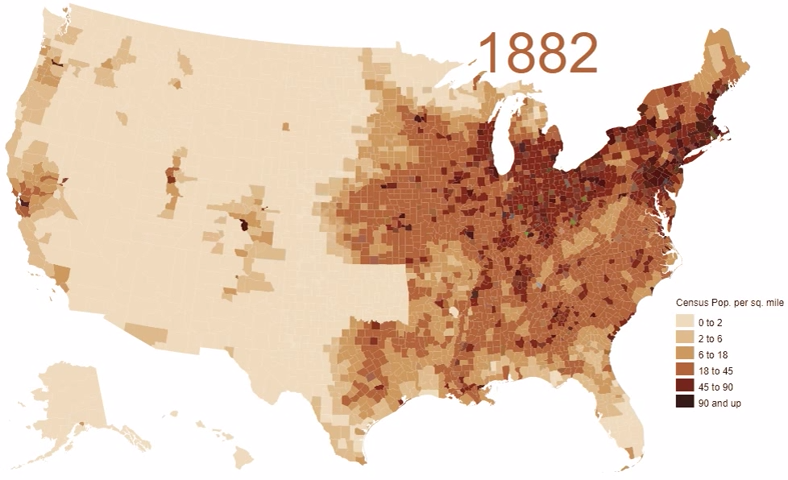
An Animated Map Visualizing the Enormous Population Growth of the ...
PPT - VUS.6 1800-1850 PowerPoint Presentation, Free Download - ID:5840619

PPT - VUS.6 1800-1850 PowerPoint Presentation, free download - ID:5840619
The American Population In 1900 Can Best Be Described As - Stevenstrust

The American Population in 1900 Can Best Be Described as - Stevenstrust
